
Mount Morris Township ZIP Code Directory Coverage
The verified entries below are address and facility anchors, not a complete polygon map of every township parcel. USPS delivery geography does not follow township, city, school, or precinct lines. For that reason, the table distinguishes what is documented from what remains unresolved, and it does not turn a polling-place postal label into proof of residential service coverage.
| ZIP | Areas Covered | Post Office | Notes |
|---|---|---|---|
| 48458 | Township offices at 5447 Bicentennial Drive and the Mount Morris mailing label | Mount Morris Post Office, 760 Albert Street | Confirms a local post office and delivery ZIP, not a municipal boundary. |
| 48504 | Hamady High School polling location at 3223 W. Carpenter Road, associated with Township Precincts 4-7 | Flint-area postal geography | Exact township parcel boundary was not located in an official USPS or GIS source. |
| 48505 | San Juan Diego Center, 6041 Ballard Drive, Flint, serving Township Precincts 8, 9, and 11 | Flint-area postal geography | The facility label does not establish a township-wide ZIP boundary. |
| Other ZIPs | Possible surrounding Clio, Flushing, or Flint delivery areas were not verified as Township coverage | Not established | No complete official ZIP polygon or address-coverage result was located. |
Mount Morris Charter Township is the municipal identifier for this research. The postal city or a nearby City of Mount Morris source cannot by itself classify a parcel as Township property. Use the municipality, parcel jurisdiction, and precinct together when the record matters.
Mount Morris Township ZIP Code 48458
The official township mailing address uses Mt. Morris, MI 48458. USPS identifies the Mount Morris Post Office at 760 Albert Street, Mount Morris, MI 48458-9998. Those facts provide a sound delivery reference for a specific address or post-office visit. They do not prove that every address bearing 48458 sits inside the Township, inside the adjacent incorporated city, or inside any particular voting district.
The USPS Mount Morris location page documents the local post office address and its published location information.
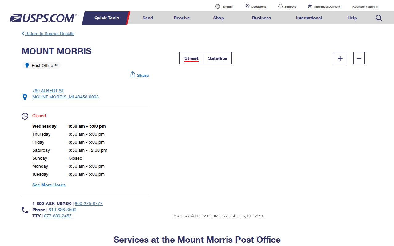
Use the postal service to verify an address's delivery ZIP or post-office information. For a jurisdiction question, move next to the township assessor record and county parcel map rather than relying on the postal result.
Mount Morris Township ZIP Code Cautions
Township precinct maps identify several polling locations by street address. Trinity Assembly of God at 4363 W. Mt. Morris Road serves Precincts 1-2; Resilient Hope Church at 2115 W. Mt. Morris Road serves Precinct 3; Hamady High School gym serves Precincts 4-7; and San Juan Diego Center in Flint serves Precincts 8, 9, and 11. The county's 2024 canvass lists Township Precincts 1-9 and 11 separately from the City of Mount Morris.
The Township precinct-map page is the local source for polling-place and precinct cross-checks.
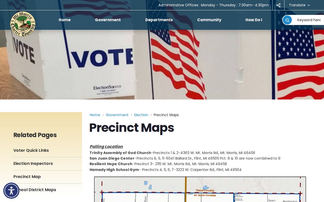
A place used for voting can carry a Flint postal label while serving Township voters. It is evidence about a polling assignment, not proof that nearby residential parcels share the same ZIP or municipal jurisdiction.
Find Mount Morris Township ZIP Addresses
A ZIP-based inquiry works best as a narrowing process, not a request for a township-wide roster. The verified tools split their functions: USPS verifies delivery information, BS&A connects an address, name, or parcel number to the local assessment record, FetchGIS supplies a parcel map, and election materials work by jurisdiction or precinct. A historical address adds another layer, because the printed street form can differ from the modern parcel description.
- Enter the complete address in an official USPS tool and save the returned delivery ZIP and search date.
- Search Mount Morris Charter Township's BS&A page by address, name, or parcel number to reach the assessment record.
- Open the Genesee County map, enable parcel information, click the correct polygon, and record its parcel ID and displayed attributes.
- Check the Township or City classification and the appropriate precinct source when an election or municipal question is involved.
- For a historical street question, compare the directory's printed address with a plat, deed legal description, and the current parcel before connecting the records.
Once an address has been verified, the Mount Morris Township By Street guide gives the fuller address-keyed sequence. A deed index is useful for title history but is not a reliable ZIP-wide current-resident list.
Mount Morris Township ZIP Search Limits
No official source inspected for this project verified a ZIP filter that returns all Mount Morris Township parcels or voters. The table therefore lists only the visible controls and documented scopes. A blank or unverified dynamic field is not a reason to infer a ZIP search option.
| Resource | Verified field or scope | What it can do | ZIP limitation |
|---|---|---|---|
| Mount Morris Charter Township BS&A | Address, Name, Parcel Number | Locates a municipal property record through the visible search modes. | No ZIP filter was visible; ZIP-wide results were not verified. |
| Genesee County FetchGIS | Map navigation plus address or parcel search | Locates a map area and supports parcel inspection. | An exact ZIP filter control was not exposed in the research. |
| Michigan QVF request form | County, jurisdiction, district, school, village, or ward/precinct scope | Defines election-data geography through the official request route. | The form does not promise a generic ZIP list. |
| USPS lookup and location tools | Address verification and post-office location | Verifies delivery ZIP information for an address. | Does not supply a boundary roster of people or parcels. |
| Genesee Register of Deeds | Grantor, grantee, index, and legal-description searching | Finds recorded instrument and title clues. | Not a reliable ZIP-wide current-resident search. |
The Genesee County GIS maps and data page describes parcel, section, voting-district, and map resources, as well as mapping limitations.

The map is a spatial bridge, not a legal survey. Use the displayed parcel and assessment record to test geography, and do not convert a screen view into an unverified ZIP boundary.
The Michigan Voter Information Center is the official entry point for registration and election information.
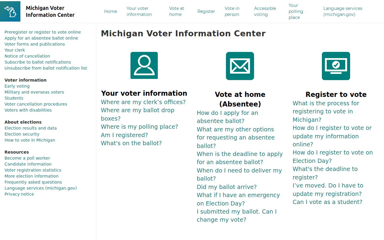
The direct lookup was dynamic or blocked in the research inspection, so exact live fields should be read on the official service rather than copied from an assumed interface.
Mount Morris Township ZIP Code Terms
Postal and land-record vocabulary describes different things. Keeping the terms separate prevents a mailing address from being mistaken for a boundary or a title record. The local property record can also distinguish the physical site from the notice address, while an old directory preserves the period's printed street label.
- ZIP versus ZIP+4
- A ZIP identifies a delivery area; ZIP+4 adds a more specific delivery segment. Neither establishes a township or city boundary.
- PO box ZIP
- A ZIP used for post-office-box delivery. The research did not identify a Mount Morris Township box-only ZIP, so do not assume one.
- Unique ZIP
- A ZIP assigned to a single institution or organization. No verified local example was located in the research.
- Carrier route
- A postal delivery grouping. It is not a parcel boundary, precinct, or municipal jurisdiction.
- Situs address
- The physical property location used for GIS, permits, parcel geography, and similar location questions.
- Legal description
- The parcel's title identity, used for deeds, mortgages, plats, and chain-of-title work.
Mount Morris Township ZIP Boundaries
The key boundary mismatch is local and recurring: a Mount Morris mailing label can be attached to Township property, the City of Mount Morris is a separate municipality, and some Township polling facilities use Flint postal addresses. No official full ZIP polygon or complete parcel-to-ZIP table was located in BS&A, FetchGIS, or the voter sources reviewed. It would be inaccurate to draw a Township ZIP boundary from one post-office address, one polling site, or a map label.
County GIS publishes parcel and section resources, and local assessor, building, and clerk records use the local address and parcel context. When city, township, and delivery labels differ, the parcel ID and legal description are stronger geographic anchors than the postal city.
Mount Morris Township Parcel Addresses
A BS&A assessment record may show an owner name, situs address, tax-bill mailing address, parcel number, legal description, value fields, exemption code, sales material, and map link. The mailing address can be outside the Township and is only a notice-delivery clue. Likewise, a principal-residence exemption is a tax classification rather than proof that every person associated with an address lives there.
For a record request or family-history note, preserve the search date, municipal spelling, parcel number, situs, mailing field, and the source screen or document. That recordkeeping makes it possible to correct a later geographic mismatch without merging different addresses or households.
Mount Morris Township ZIP Field Tip
BS&A, FetchGIS, and the Michigan Voter Information Center use dynamic interfaces whose complete labels were not visible in the static research review. Before relying on a live search, capture the displayed field names, selected municipality, date, and result context. A dynamic page may offer more than the documented landing page, but that is a reason to document the live interface, not to promise controls that were never verified.
County GIS also offers parcel and section-numbering maps and downloadable map data, while the exact current Mount Morris parcel-number format was not exposed. Obtain the official map when a parcel-number decode is needed instead of manufacturing a section, town, or range pattern from an example.
Mount Morris Township ZIP Crosswalk
For an older address, begin with the printed street and number in a 1916-1957 Flint-area directory reel, then compare the 1905-1921 directory lead, the 1873 Beers atlas or county plat, the Register of Deeds legal description, historic aerials, and the current FetchGIS or BS&A parcel. This is a crosswalk between different record systems, not evidence that an old delivery label remains current.
If an historic source says only “Mount Morris,” check both the City and Township as a disambiguation step and retain the result under the jurisdiction the evidence supports. The best outcome may be an unresolved note until a plat, deed, or parcel record supplies the missing boundary clue.