
Mount Morris Township Neighbors: Block Sources
Public records can describe the block around an address, but each has a narrow job. The parcel map establishes geography. BS&A can show an owner and property fields for one parcel. Recorded instruments can trace transfers. Voter material concerns eligible voter registration and jurisdiction, not a household census. Historical directories and newspapers offer dated context. Start with the parcel boundary and keep every later result labeled by its source and date.
Several sources require a counter, request, library, or records route when the web search stops. Genesee County's Register of Deeds online page says records before 1983 are unavailable online. Township permit and code material has no public address-by-address result index. Those are documented access limits, not a reason to infer names from an adjacent parcel.
| Source | What It Shows About a Block | Access |
|---|---|---|
| Genesee FetchGIS | Adjacent polygons, parcel IDs, street labels, aerial context, and measurements | Free basic viewer; its maps are not legal surveys. |
| Mount Morris Township BS&A | Owner, mailing and situs fields, value, tax, and sale data when displayed | Address, name, and parcel-number modes; live result fields should be checked. |
| Register of Deeds index | Transfers, recorded liens, mortgages, legal descriptions, and document references | Online and office route; older books need the historic-index or office path. |
| QVF and MVIC | Limited public registration, address, jurisdiction, and precinct material | Lookup or defined-scope QVF request; sensitive fields are withheld. |
| Directories and newspapers | Historical occupants, notices, businesses, and address context | Library, microfilm, or database route; coverage varies by collection. |
A parcel owner is not necessarily a present resident. A directory entry is a historical snapshot. Keep those facts separate when interpreting Mount Morris Township neighbors.
Set a Mount Morris Township Block Boundary
Use FetchGIS to make the block repeatable. Search or zoom to the subject address, enable the parcel layer, and click the parcel polygon. Record the parcel ID, legal description, situs label, and the IDs of polygons that share a boundary or face the same street segment. The viewer provides measurements and markup tools that can preserve the segment used for comparison. Those are mapping aids, not a legal boundary determination.
Then check the municipal label. The independent City of Mount Morris sits next to the township, and ordinary address descriptions may also use a Mount Morris postal label or a Flint polling-place address. A nearby polygon can cross a municipal boundary. Confirm township jurisdiction in the parcel record and, when useful, in the election or precinct materials before calling it part of the same Mount Morris Township block.
County GIS also lists current and historic aerial options, measurements, coordinates, markup, and parcel information. Historic aerials can help describe development context, but an aerial image cannot identify a current resident or settle title.
Map Mount Morris Township Neighbors by Parcel
The adjacent-parcel method begins with geography and moves to records one parcel at a time. It avoids turning a single address into an unsupported block roster. BS&A is useful after a polygon has supplied the parcel identifier because it offers Address, Name, and Parcel Number modes, as well as links for assessing, property-sale, detailed-record, current-tax, delinquent-personal-property, and special-assessment searches.
- Locate the subject address in BS&A or FetchGIS and save the parcel ID and legal description.
- Read the parcels sharing a boundary or facing the same block segment, recording parcel IDs and situs labels before names.
- Open each parcel separately in BS&A and compare the municipal label, owner styling, mailing field, situs field, and any displayed sale reference.
- For a transfer question, use the legal description in the Register of Deeds and record grantor, grantee, instrument date, and book or page reference.
- For a dated block history, pair the parcel with directories, census geography, a plat or atlas, and newspaper address references.
A site address and a tax-mailing address can differ. Principal-residence exemption information is a tax classification, not proof of every person who may be connected with the address. For a full named-street method, use the Mount Morris Township street directory, which follows the address record chain in more detail.
Note: The parcel ID and legal description are stronger bridges to deeds than a street spelling alone, especially when older records use a different description.
Mount Morris Township Neighbors in Parcel Records
BS&A provides a property starting point, not a complete neighbor list. The assessment record can display owner names, the situs address, a mailing address, parcel number, legal description, classification, values, transfer or sale clues, tax data, special assessments, and improvement information. The live portal did not expose a guaranteed coverage start date or every result field in the research, so review what appears in the current record rather than assuming a fixed layout.
From the parcel's legal description, use the county Register of Deeds. The historical guide describes Deed Index Book and Mortgage Index Book searches with Document Type set to Index. Codes include DE for grantor and grantee, DEGR for grantor only, DEGE for grantee only, and MTG for mortgage grantor and grantee. An image icon and book-page reference point to the recorded item. Mortgages and releases can date financing but do not establish occupancy.
Records before 1983 are not available in the online search according to the county page. The county's records project separately describes electronic images from 1970 forward and a scanned, non-indexed album to 1970. Those are different layers. Ask the Register of Deeds for the exact book and page if the online index does not produce the needed older instrument.
Mount Morris Township Neighbors and Precinct Context
Michigan's Qualified Voter File is not a block roster. MCL 168.509r describes a statewide street-address index, and MCL 168.509gg makes selected voter-file fields public while withholding the month and day of birth, phone number, driver-license or state-ID number, digitized signature, last four SSN digits, declined-registration material, and application-receiving office. The direct MVIC field labels were dynamic or blocked during research, so do not promise a fixed public form layout.
The official QVF request form allows a defined scope such as a county, city or township jurisdiction, district, school, village, or one ward or precinct. It also distinguishes election-history choices and controlled delivery methods. That structure matters: a township or precinct request is not an invitation to build an unrestricted personal list. Michigan does not register voters by party, so primary participation should not be converted into a party label.
The township's precinct maps and the Genesee County canvass report provide civic geography. The 2024 canvass reports Mount Morris Township precincts 1 through 9 and 11 separately from the City of Mount Morris. That is useful for understanding jurisdiction and turnout context, not for identifying a complete set of neighbors.
Civic Records Near Mount Morris Township
Public civic material can reveal a project, hearing, historical display, or recorded appointment near a block without implying private membership. The township clerk is the custodian for township records, minutes, election material, ordinance books, oaths, and notices. The official menu identifies boards and commissions, the Business Development Authority, Planning Commission, and Zoning Board of Appeals. Their agendas, minutes, and public hearings are the appropriate routes for civic context.
| Public civic resource | Useful block material | Access boundary |
|---|---|---|
| Township Clerk | Minutes, ordinances, election material, notices, and official township records | Request a board name and date range; a complete historic online index was not located. |
| Planning Commission and Zoning Board | Public agendas, appointments, hearings, and parcel-specific approvals | Use the township's official agendas and clerk records, not inferred affiliation. |
| Genesee District Library local history | County history contacts and a link to Mount Morris Historical Society | Historical research route, not a current-resident directory. |
| Mount Morris Historical Society | Library display and historical contact route | Its published focus is primarily City of Mt. Morris history; confirm township coverage. |
The Genesee District Library local-history page is shown below because it supplies the documented historical-resource connection for the Mount Morris area.
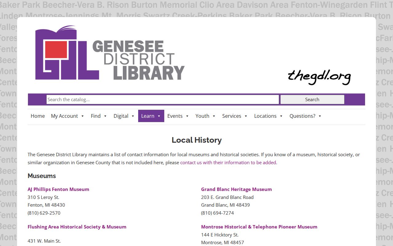
The linked local-history material is useful for publications and contact routes. It does not establish current membership in any neighborhood group.
Mount Morris Township Neighbor-Roster Myth
No official neighborhood-association, HOA, block-watch, congregation, or civic-club roster was located in the township or county sources reviewed. The township menu lists public boards and community items, not a directory of members. GDL and township material mention places such as the library, schools, churches, and senior center, but a place is not evidence that a person belongs to it.
The Mount Morris Historical Society meets at the Mount Morris Public Library and maintains a display there, according to its site. Its published emphasis is City of Mt. Morris history, so township coverage should be checked rather than assumed. Countywide historical and genealogical groups offer publications and contact routes, not a current block directory.
The Genesee District Library Mount Morris branch page identifies a local research point for these historical materials.
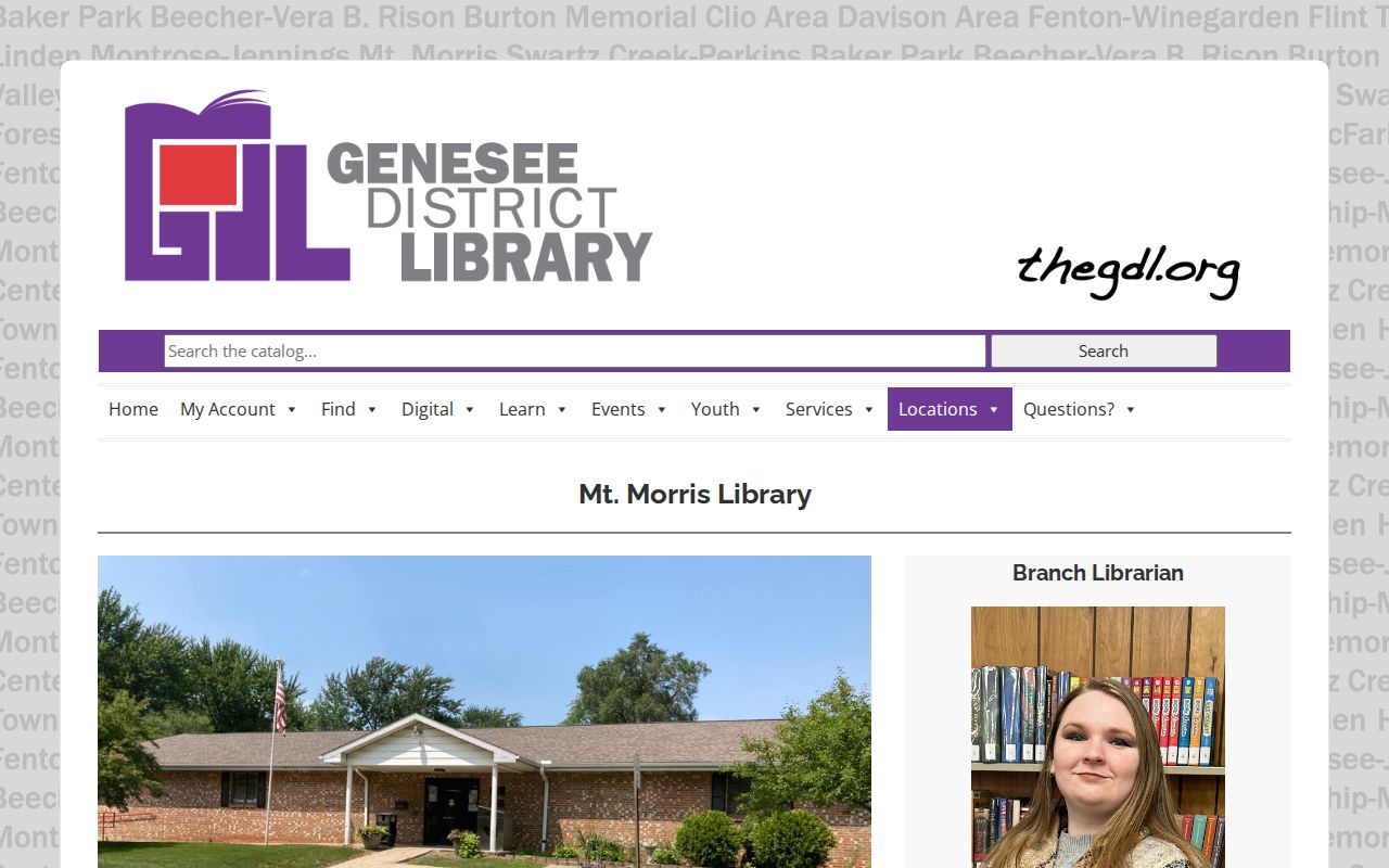
Library staff, databases, and local-history resources can help locate dated publications. Ask about a specific title, year, or street rather than presuming a current member list exists.
Note: An absent public roster is a research limit, not a reason to infer affiliation from an address, a meeting place, or a public notice.
Mount Morris Township Neighbor Tools Compared
Official records and commercial neighbor tools serve different purposes. Official material identifies the custodian, record date, and legal limits, allowing a fact to be checked at its source. Commercial tools may combine public filings, marketing data, and licensed datasets. Their results can be stale, incomplete, or joined to the wrong same-name person. Use a commercial result only as an unverified lead, then return to the parcel, recorder, court, or library source that owns the underlying information.
| Category | Strength | Limit |
|---|---|---|
| Official parcel and deed records | Traceable ownership, legal-description, and transfer evidence | Not a complete resident list; older access can require an office request. |
| Official voter and precinct material | Defined election jurisdiction and public registration context | Protected fields stay protected, and the information is not a household roster. |
| Library directories and newspapers | Dated local context and historical address evidence | Collections have gaps and do not show a present block. |
| Commercial neighbor tools | May surface a lead for later source checking | Can merge identities, carry old data, or omit protected participants. |
Township building and code material can add a property-history clue. The public sources did not locate a township code-case portal, so use an address, parcel, date range, and record type in a direct request or FOIA request.
Mount Morris Township's code-enforcement page is represented here because it explains the local complaint and inspection role.
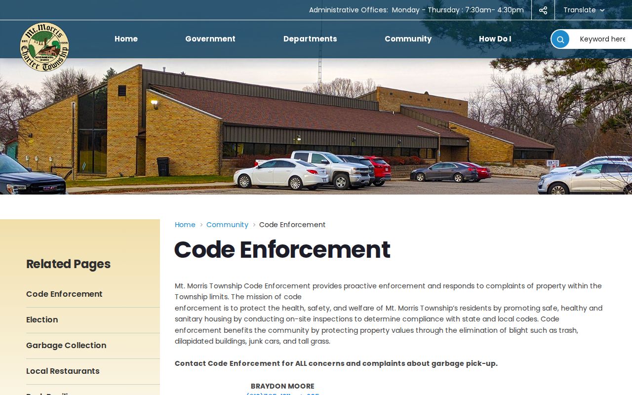
The office describes proactive inspection and complaint response, but it does not supply a public address-by-address case index.
Privacy Limits for Mount Morris Township Neighbors
Public records cannot show every person connected with a block. They do not provide a complete roster of private household members, visitors, utility customers, package recipients, or protected participants. A parcel owner is not automatically a current resident. A voter record is not a household list. A directory describes a period, not an ongoing status. The federal Driver's Privacy Protection Act also prevents a general public motor-vehicle address lookup.
Michigan's Address Confidentiality Program gives qualifying people a designated substitute address and mail forwarding. Never try to reverse a substitute address into a physical location. The voter-file exemptions also remain in place for a defined QVF request. For a wrong parcel owner or address, return to the Mount Morris assessor with the parcel number and supporting deed. For a wrong voter record, use the township clerk or MDOS correction route. A correction belongs with the agency that owns the record.
Lawful use. Mount Morris Township neighbor research is limited to lawful personal and civic purposes. A public address never permits stalking, harassment, intimidation, surveillance, or attempts to expose a protected location.
The township police fee schedule is shown below as a reminder that report and records routes have their own custodian and current fee information.
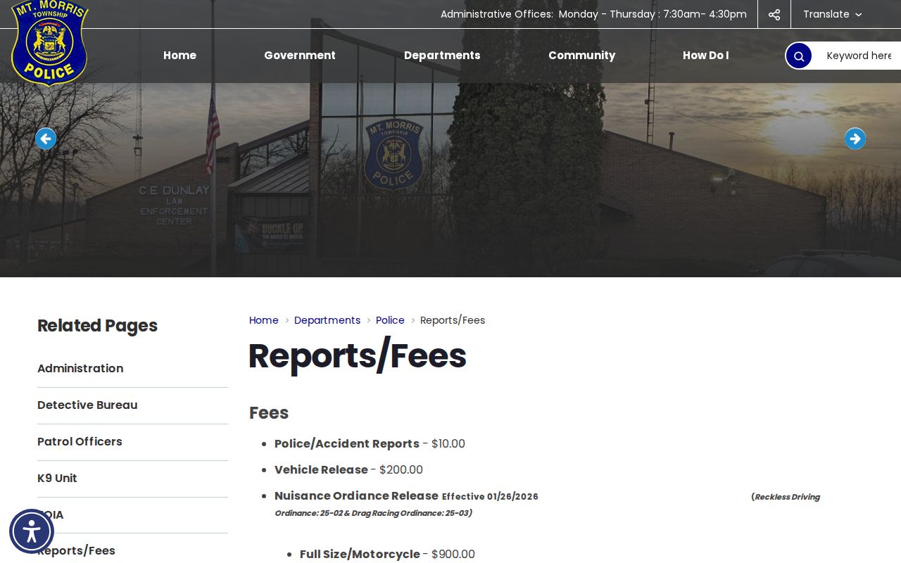
Use the police records route for the specific public record it holds. Do not treat a fee schedule as a directory of people or events.