
Mount Morris Township Street Walkthrough
Ownership and residence are not the same thing. For a Mount Morris Township address, begin with the parcel record, then use the legal description to read the recorded transfer trail. The voter route and older directories can add a dated registration or household clue, but neither makes a complete street roster. This street-directory sequence keeps each source in its proper lane and leaves a clear record of what was actually found.
- Search the address in Mount Morris Charter Township BS&A Online. Save the situs address, parcel number, legal description, owner display, and mailing address as separate fields.
- Open Genesee FetchGIS, enable the parcel layer, and click the matching polygon. Note the parcel ID, street label, and adjacent IDs before relying on any owner field.
- Use the legal description and transfer clues in the Genesee County Register of Deeds online search to locate the relevant recorded instrument.
- For a registration question, use the Michigan Voter Information Center or make a narrowly scoped Qualified Voter File request. Treat the result as registration evidence, not a household list.
- For an earlier period, compare the address with a real directory reel or page and a census release. Preserve the year, page, and repository for each result.
That order starts with a fixed place. It also prevents a common error: turning a tax mailing address or a single record entry into a claim about everyone on a Mount Morris Township street.
Mount Morris Township BS&A Street Search
The township assessment search is the practical first stop for an address-based street directory. Its municipal landing page visibly offers Address, Name, and Parcel Number modes, plus links for Assessing Search, Property Sale Search, Detailed Record Search, Current Tax Search, Delinquent Personal Property Search, and Special Assessment Search. The static page did not establish an online start year or guarantee every field shown in a live result, so transcribe the live parcel card rather than assuming a field will always appear.
| BS&A control | Use on a street search | What to preserve |
|---|---|---|
| Address | Find a parcel by street number or name. | Exact street spelling and selected situs. |
| Name | Check an owner spelling or entity styling. | Exact result spelling, not an identity conclusion. |
| Parcel Number | Link a map result to title records. | The full identifier and legal description. |
| Assessing Search | Inspect the detailed assessment record. | Owner, values, classification, and any displayed exemption. |
| Property Sale Search | Review available sale data. | Date, parties, address, and reference if displayed. |
| Current Tax Search | Check current tax information when available. | Access date and whether the record is current-tax only. |
The township assessor says assessment records and record cards may be inspected or copied during office hours or viewed through BS&A. That is the fallback when a live search field or older record needs confirmation. A mailing address may be outside the township, and a principal-residence exemption is a tax classification, not proof of every person at the property.
Note: Record the access date because the official materials do not provide a confirmed online coverage start for the municipal parcel search.
Mount Morris Township FetchGIS Street Map
Genesee County GIS maps and data provide the county mapping context. Its FetchGIS viewer is useful for moving from a written address to a visible parcel, checking nearby polygon IDs, and comparing the street label with the municipal setting. County material also describes current and historic aerial resources, measurements, markup, coordinates, parcel reports, and mapping layers.
The township assessor page documents the local assessment route shown here.
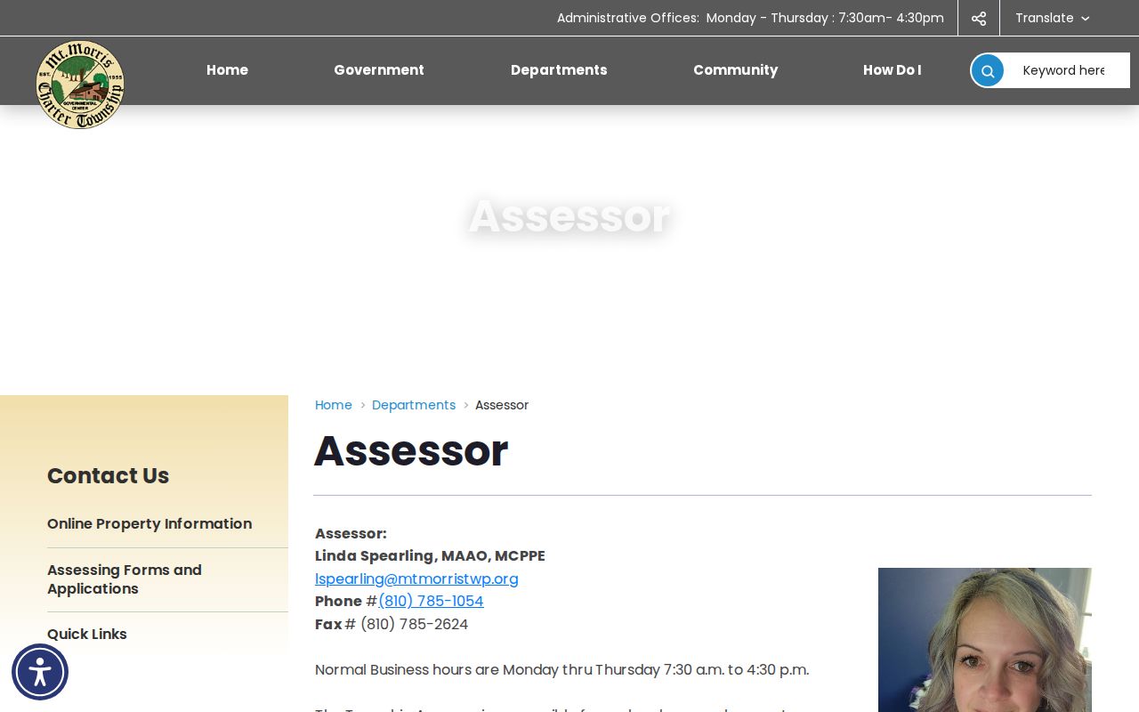
Use the assessor contact and record-card route to verify a parcel finding before making a conclusion from a map display. The map supplies location context; the assessment record supplies the locally maintained parcel information.
- Parcel
- A mapped piece of real property identified by a local parcel number.
- Situs address
- The physical location of the parcel, distinct from a mailing address used for notices.
- Legal description
- The lot, block, subdivision, or metes-and-bounds description used to identify land in title records.
- Criss-cross directory
- A reverse directory organized by street and house number rather than surname.
Mount Morris Township Street Records by Address
A street directory has more value when each record set is read for its actual purpose. The assessor links property details to a parcel. FetchGIS links that parcel to map context. The Register of Deeds connects the legal description to recorded instruments. Township permits can document a project trail, and election records can address registration jurisdiction within statutory limits. None of these sets is a complete current resident roll.
| Address-keyed source | Custodian | Useful evidence | Access route |
|---|---|---|---|
| Assessment record card | Township assessor / BS&A | Owner, parcel, situs, mailing, values, classification, improvements | Online or office inspection/copy |
| GIS parcel | Genesee County GIS | Polygon, adjacent parcels, imagery, measurements, layers | Basic FetchGIS viewer |
| Recorded instruments | Genesee Register of Deeds | Grantor, grantee, document type, book/page, dates | Online after the cutoff or office route |
| Building permit file | Township Building Department | Applicant, parcel, project, site-plan and inspection clues | Request by address, parcel, and date range |
| Voter record | Township clerk / Michigan election system | Public registration status, jurisdiction, and precinct context | Lookup or scoped QVF request |
The parcel number and legal description are the strongest bridges between these records. Street spelling alone can fail when a directory uses abbreviations or an instrument names a lot and subdivision instead of a modern address.
Genesee Deed Index by Street
The Register of Deeds is the street directory's title trail, not an occupancy roll. Begin with the current parcel data, then look for the purchase instrument under the legal description and party names. The county's online page says records before 1983 are not available online. County records material separately describes electronic images from 1970 forward and a scanned but unindexed album to 1970, so an image date and a searchable-index date must never be treated as the same cutoff.
The Register of Deeds online-records page describes the current search route and the older-record limits.
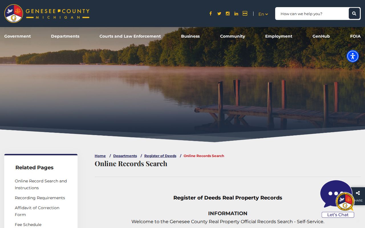
The image reflects why an index result should be followed to the controlling instrument or an office copy. A name in an index points to a document; it does not establish current residence.
The county's historical index-book guide directs a researcher to choose Document Type “Index,” then use Deed Index Book or Mortgage Index Book with year and letter filters. DE covers grantor and grantee, DEGR grantor only, DEGE grantee only, and MTG mortgage grantor and grantee. Keep the Liber/Page reference and image location, then ask the office for the instrument when needed.
Mount Morris Township Address Files
Mount Morris Township Building Department materials make permits a useful address-based layer when the question is about construction, alteration, demolition, or an inspection trail. The published application includes a street address, parcel ID, owner or applicant data, project type, setbacks, valuation, and site-plan details. It is a request route, not a public results index.
The building department page is the source for the permit and inspection process shown here.
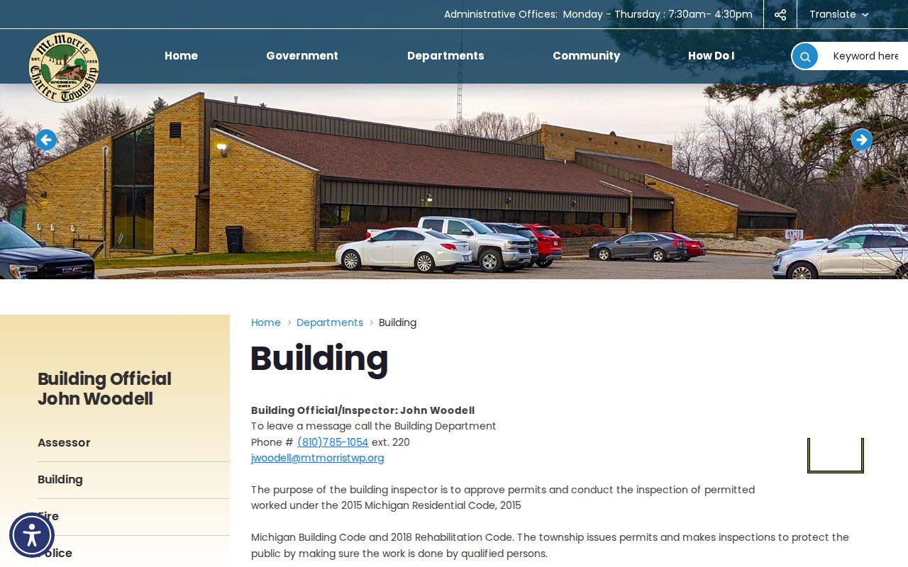
Submit a narrow request with the street address, parcel ID, known permit number if any, date range, and the particular documents sought. Ask separately for the application, inspection record, final approval, and attached plan. Township code enforcement describes complaint and inspection work, but no public address-by-address case search was located; use a direct request or FOIA route for an existing responsive record.
Note: A permit identifies an application or project record and should not be read as a current list of people connected to the address.
Historic Mount Morris Township Streets
Historical directories add a household layer to a street search, but only for the year printed. The Library of Michigan directory guide explains that Polk directories can be searched by surname, street, phone, and business section, while Bresser products use street and house-number order. Flint-area reels containing Mount Morris run from 1916 through 1957 with documented gaps. An older 1905 to 1921 directory lead should be confirmed with the holding library before it is cited as available.
A current street directory should not recreate that historical shelf. The Mount Morris Township city directories collection gives the directory formats and collection leads their own treatment. For a street check, retain the volume title, printed year, reel or page, exact address, and whether the entry is a person, business, or institution.
Newspaper and census checks are useful only when they line up with the date. A directory occupant can differ from a parcel owner, and a single historical entry does not describe a modern household. When an address appears in two adjacent years, compare each spelling and number before assuming the same building is involved. A street sequence, a legal description, and a dated map layer can explain a difference without turning an unresolved match into a conclusion.
FetchGIS for Mount Morris Township Streets
FetchGIS offers parcel boundaries, imagery, measurements, markup, and parcel information. Its basic map functions help establish a repeatable street segment and compare IDs, while some report, notification-list, and label tools may be transaction-priced. The county disclaimer matters: map data are not a legal survey. Use an instrument, assessor record, or official survey when a legal boundary is at issue.
Genesee County Equalization describes the division between local assessment information, local current-tax information, and county delinquent-tax administration.
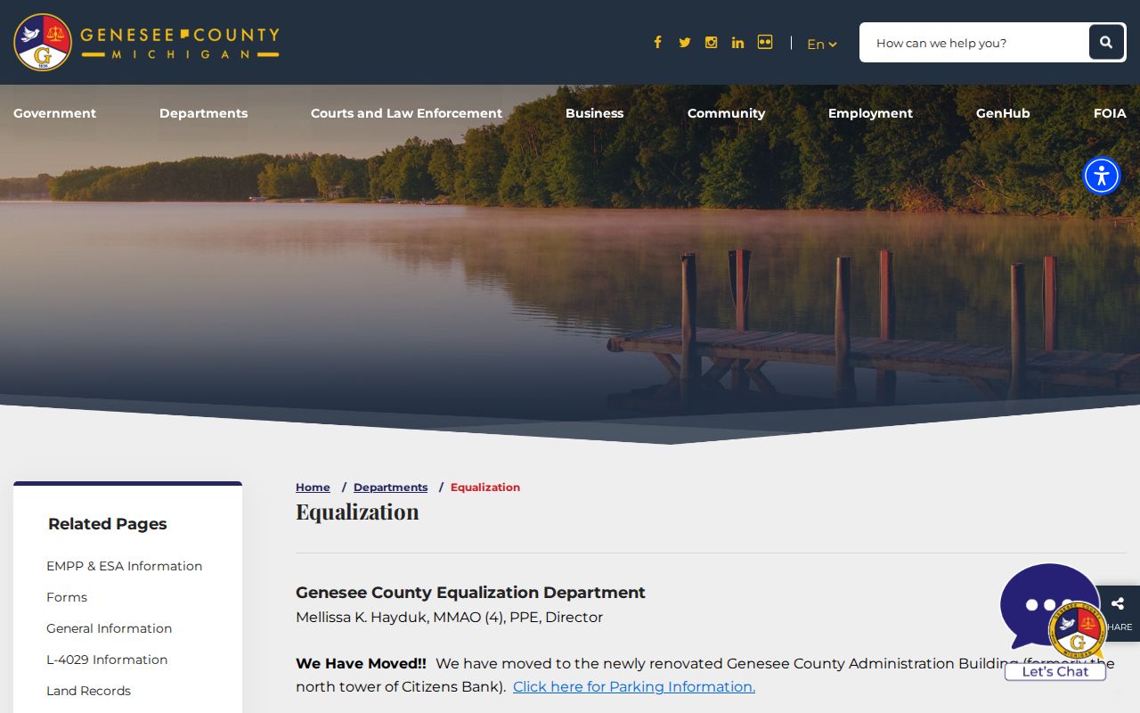
That county role explains why an address search often needs more than one custodian. The equalization material is useful context, while the local assessor remains the direct source for Mount Morris Township assessment records.
Mount Morris Township Street Labels
Mount Morris Township, the adjacent incorporated City of Mount Morris, and Flint postal labels can appear close together in ordinary address descriptions. A Mount Morris postal city does not establish municipal jurisdiction. Confirm the parcel's jurisdiction, the voter precinct context, and the record custodian before combining results. This check is especially important when an older directory names a nearby city section or when a polling site uses a Flint postal address.
No official street-renumbering or street-renaming chronology with a verified year was located. When a historic address does not match a modern street form, compare the legal description, subdivision or lot, directory abbreviation key, historic plat, and mapped parcel instead of assuming a renumbering occurred.
Note: Preserve the municipality exactly as each source prints it, then explain any township, city, or postal distinction in the research notes.
Mount Morris Township Street Directory Limits
Public records do not produce a complete street roster. They do not show every non-registered household member, visitor, utility customer, package recipient, or protected participant. Driver-license address data are restricted under the federal Driver's Privacy Protection Act. A deed, voter record, court entry, parcel card, or directory listing supports a limited fact tied to that record and date.
The Michigan Address Confidentiality Program provides a substitute address and mail forwarding for qualifying people at risk. Do not try to reverse a substitute address. Michigan voter law also withholds month and day of birth, phone, identification numbers, signatures, and other protected fields from the public voter file.